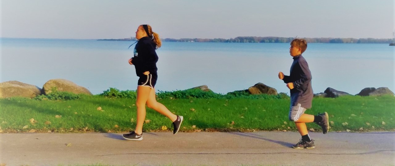
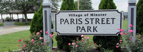
Minster Parks & Recreation
Distance:
Surface:
Points of Interest:
http://www.minsteroh.com/municipal/parks-recreation-department
Minster, OH
21 August, 2020 21 August, 2020
New Bremen Parks Featuring Komminsk Legacy Park
Distance:
Surface:
Points of Interest:
New Bremen, OH
21 August, 2020
Westview Park & Skate Park
Distance:
Surface:
Points of Interest: Skate Park, Soccer, Softball & Baseball, Walking Path, Playground
520 Hoying St Celina, OH
Celina, OH 45822
21 August, 2020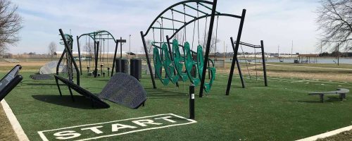
Eastview Park Pond & Challenge Course
Distance:
Surface:
Points of Interest:
220 Bachar Road
Celina, OH 45822
21 August, 2020
Riverwalk Path
Distance: 1.0 miles
Surface: Paved
Points of Interest: Wapakoneta Water Park, Harmon Park, Belcher Park
11 April, 2018
Veteran’s Memorial Park Path
Distance: 1.0 miles
Surface: Paved
Points of Interest: Veteran’s Memorial Park, physical challenge stations
11 April, 2018
East Bank Path
Distance: 2 miles
Surface: Paved
Points of Interest: Grand Lake St. houses, picnic areas, shing piers, Marys State Park, shelter, dog park
11 April, 2018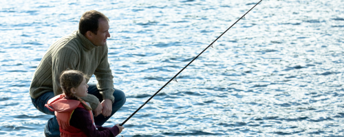
Windy Point State Park Trail
Distance: 1.0 miles
Surface: Paved
Points of Interest: Windy Point State Park, lake swimming and shing access, shelter house, picnic area
11 April, 2018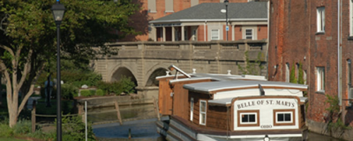
St. Marys Memorial Park
Distance:
Surface:
Points of Interest:
Chestnut & South Streets
St. Marys, OH 45885
27 February, 2018
West Bank Trail
Distance:
Surface:
Points of Interest:
26 February, 2018
St. Route 703 Bike Path
Distance: 9 miles
Surface: Paved
Points of Interest: Northwood Lighthouse, Anderson State Park, lake access and more
26 February, 2018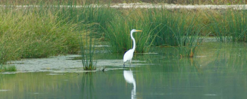
Prairie Creek Wetlands Trail
Distance: 1.3 miles
Surface: Crushed stone
Points of Interest: Wetlands habitat
26 February, 2018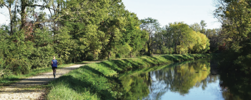
Miami-Erie Canal Path
Distance: 40 miles
Surface: Crushed Stone, Dirt, Grass
Points of Interest: Komminsh Legacy Park, Lockkeeper’s House, Bicycle Museum of America and more.
26 February, 2018
Gilliland Nature Sanctuary
Distance:
Surface:
Points of Interest:
26 February, 2018
Franklin Township Greenway Trail
Distance: 5.5 miles
Surface: Paved
Points of Interest: Franklin Township Nature Park, Zuma Park, Woodhaven Park, Cottonwood Park, two covered bridges, lake shing access
26 February, 2018
Dr. Elizabeth Yahl Kuffner Nature Preserve
Distance: 1.4 miles
Surface: Woodland trail
Points of Interest: Woodland habitat
26 February, 2018
Celina-Coldwater Bike Path
Distance: 4.5 miles
Surface: Paved
Points of Interest: Scenic countryside
26 February, 2018